
Yesterday (29.3.25) at 11am, the long awaited Borderline Greenway, which runs along a currently short section of the former Alnwick and Cornhill Railway finally officially opened to the public.
Click here to view The Chronicle coverage of the opening event.
The railway on this stretch opened in 1887 for traffic as a through route from Alnwick to Cornhill. In 1948, following damage from major floods, the line was divided, with an Alnwick to Ilderton section, alongside Wooler to Cornhill (Coldstream). This section,on the Alnwick side, closed in March 1953 after just a 66 year lifespan, with the Wooler section surviving until 1965.
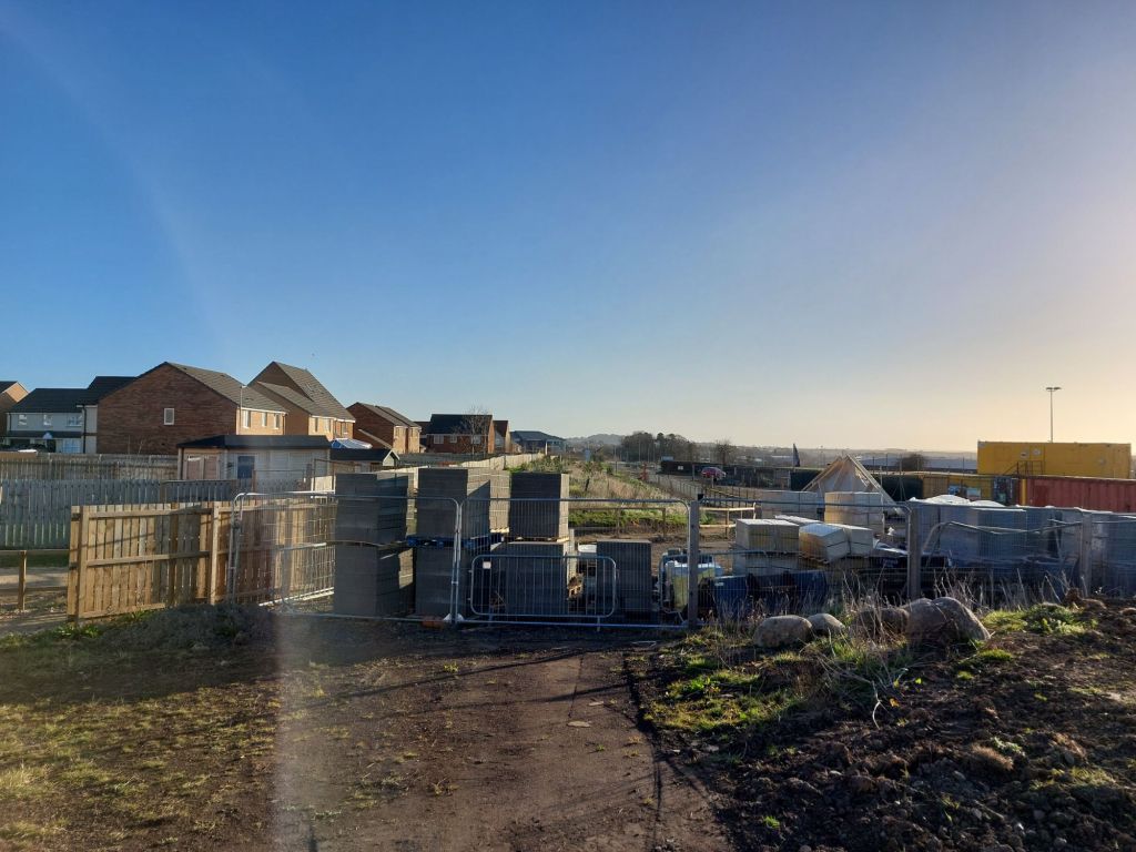
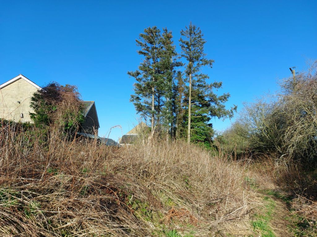
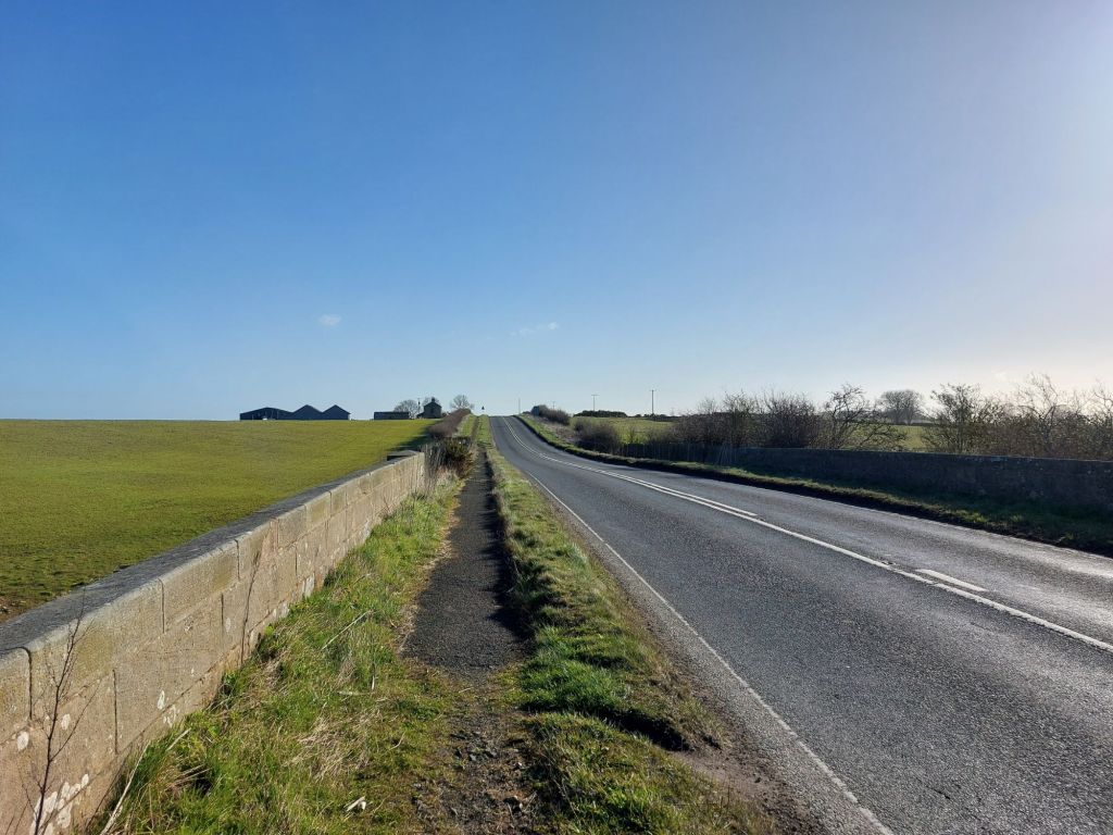
This newly opened route starts on the edge of Alnwick near to The Steadings (Taylor Drive) housing estate, still under construction hence the building materials on part of the trackbed which hopefully will be cleared once completed, but is easily walked around via a diversionary path.
The route is in two key parts, the Borderline Greenway, improved by the Borderline Greenway CIC makes up the majority, but for the last section towards the B6341, it is owned by the Freemen of Alnwick, which as of today has not been improved, but is passable on foot with care and if able to duck and clamber over occasional obstacles.
Sturdy boots would be recommended for undertaking this walk, and a sensible off road bicycle could certainly be used on the Borderline Greenway to Rugley Bridge and to the Freemen boundary.
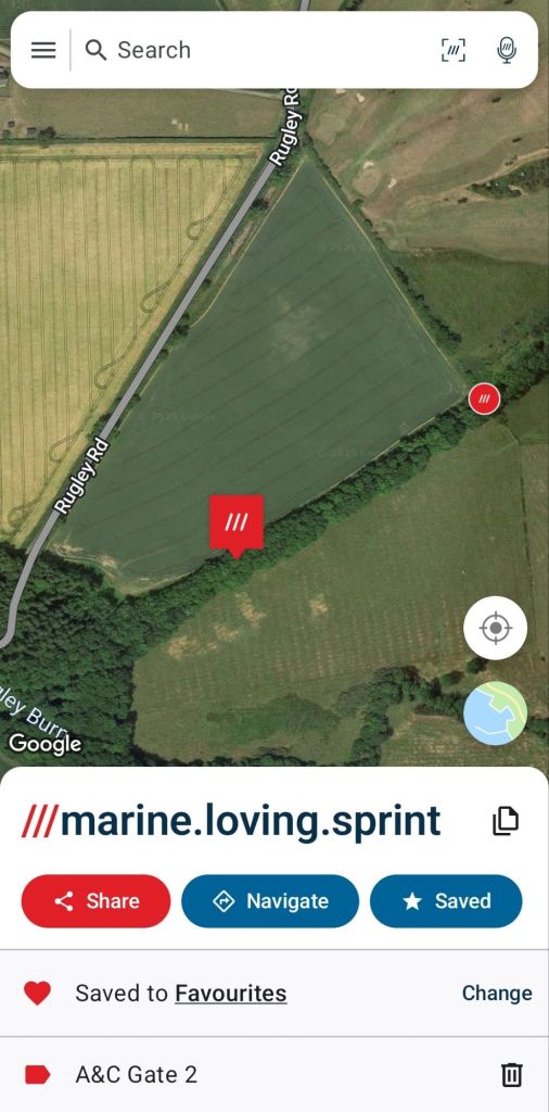
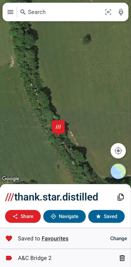
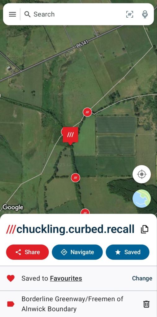
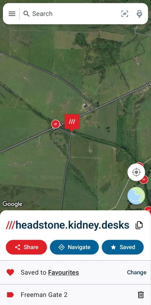
For simplicity for those following this route, what3words has been used to label key locations, but is shared alongside mapping/aerial photographs to hopefully make clear where each site is.

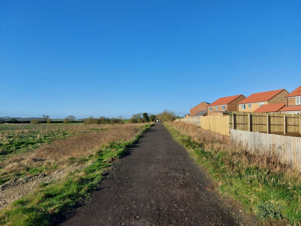
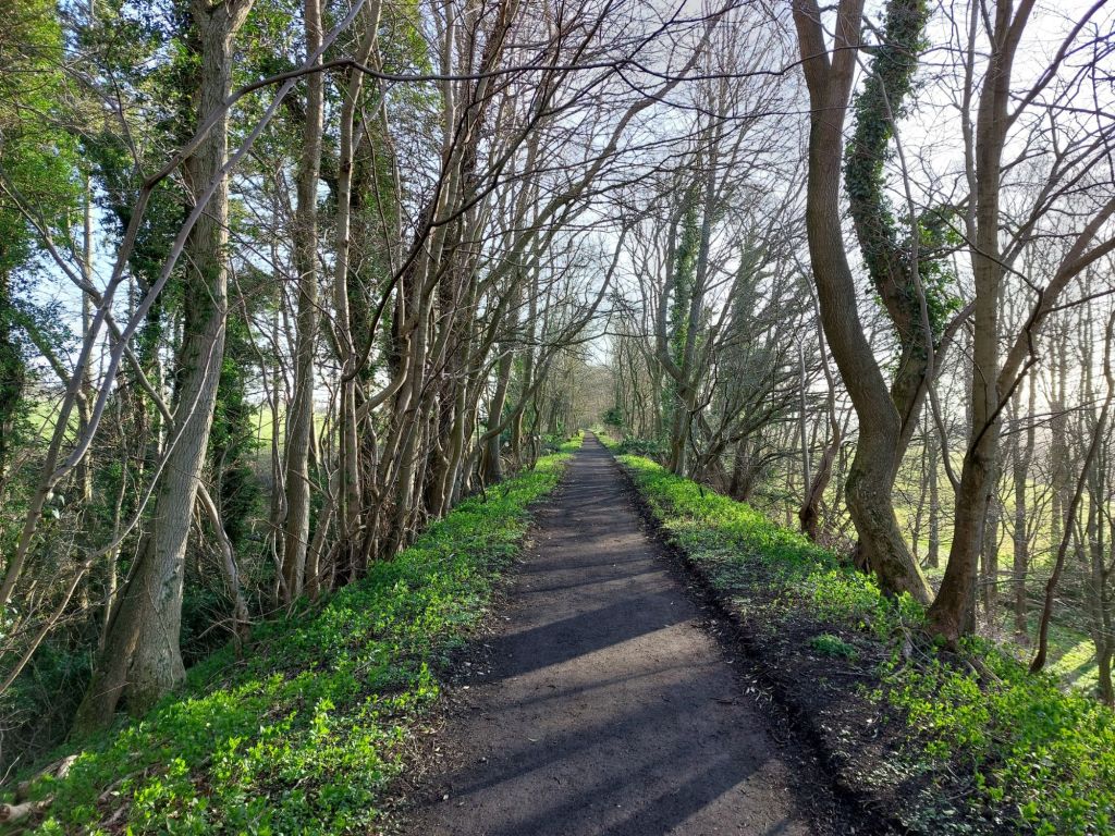
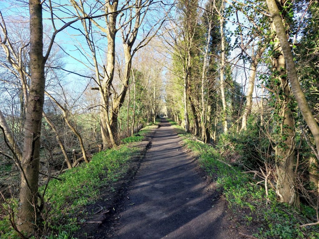
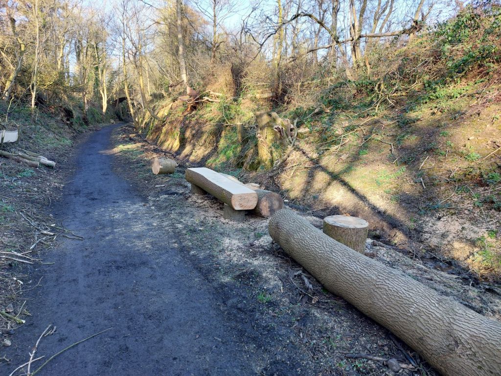
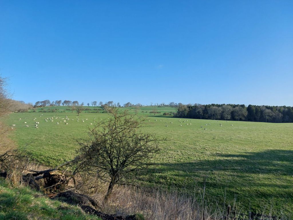
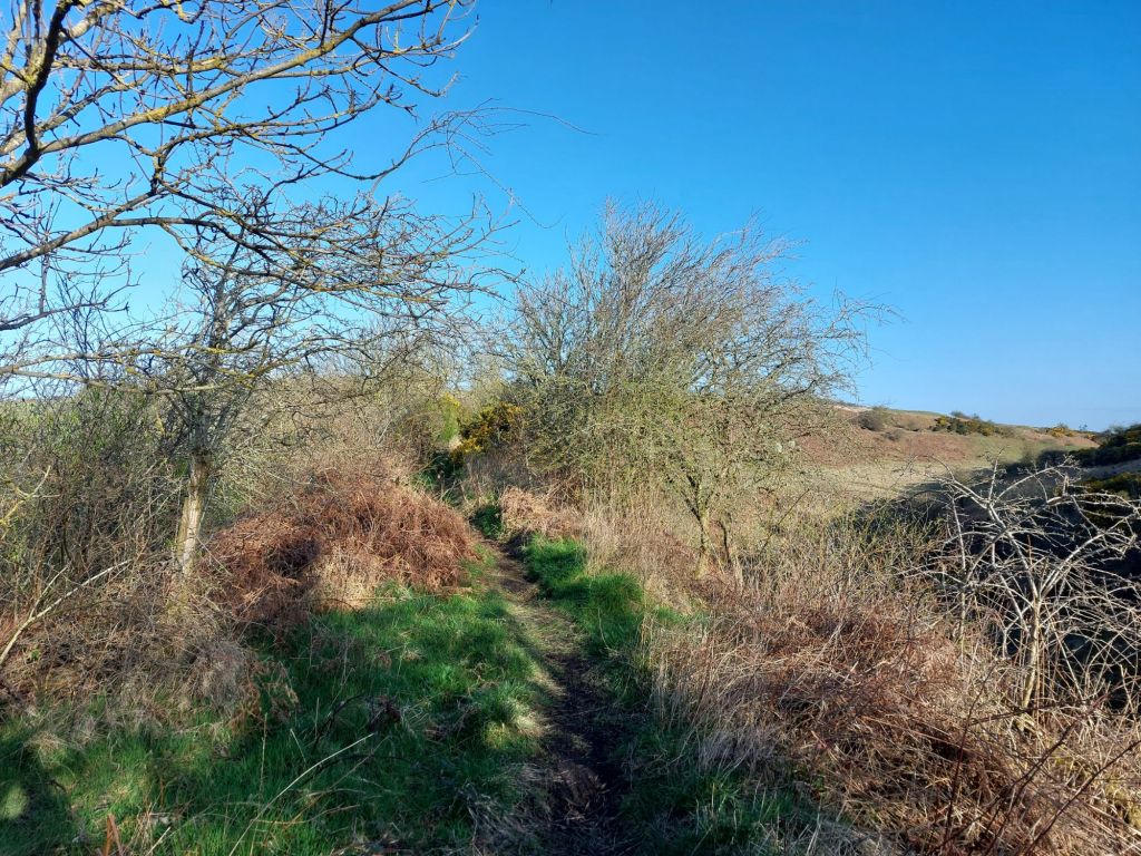
As can be seen above, the Borderline Greenway CIC has made a great job of creating a wide, smooth path along their stretch of route, which is quite dry throughout (one small patch of water running over the path was encountered).
This walk will take in the full length of the Borderline Greenway from Taylor Drive to its end well outside of Alnwick, and then the short stretch of Freemen owned land to reach the B6341 over Alnwick Moor which formed the return leg into town.
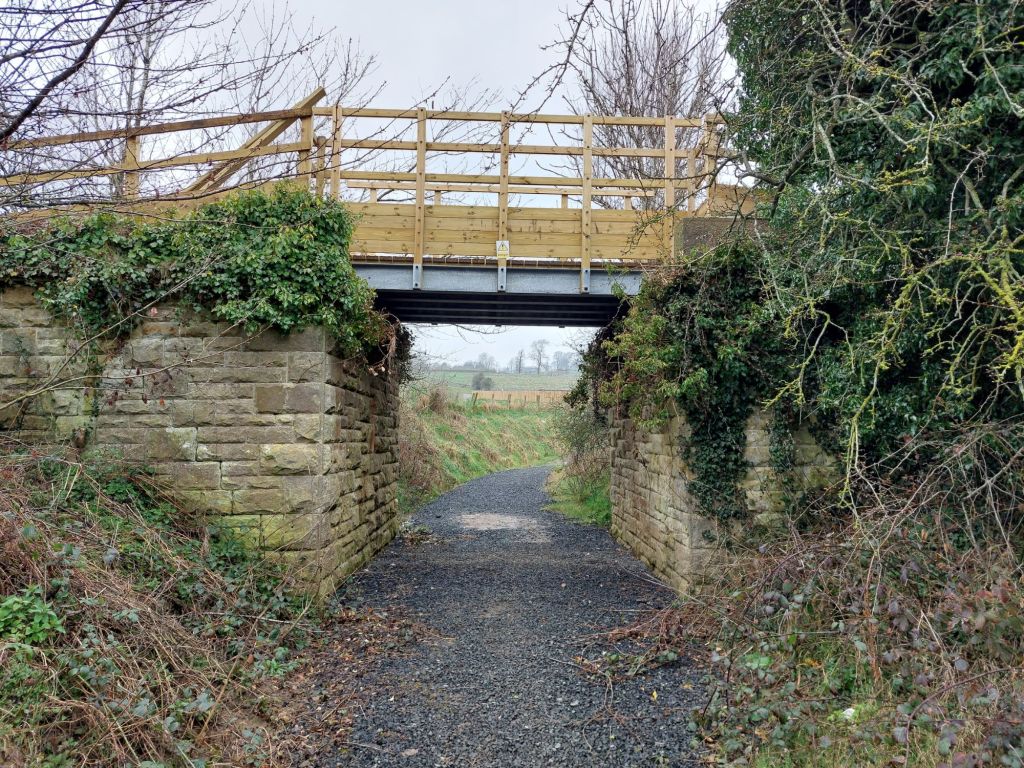
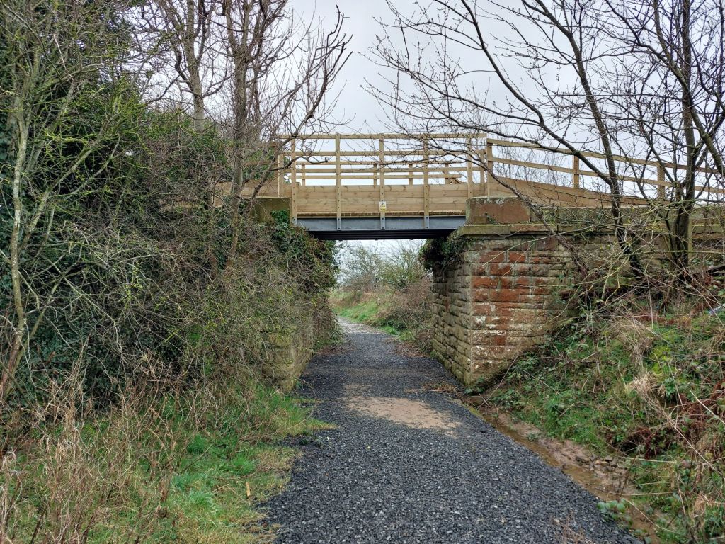
Bridge 1

This bridge is the first major structure on the route, with a new deck placed in recent months (previous span had long since disappeared), and crosses another minor path below, explored some days before.
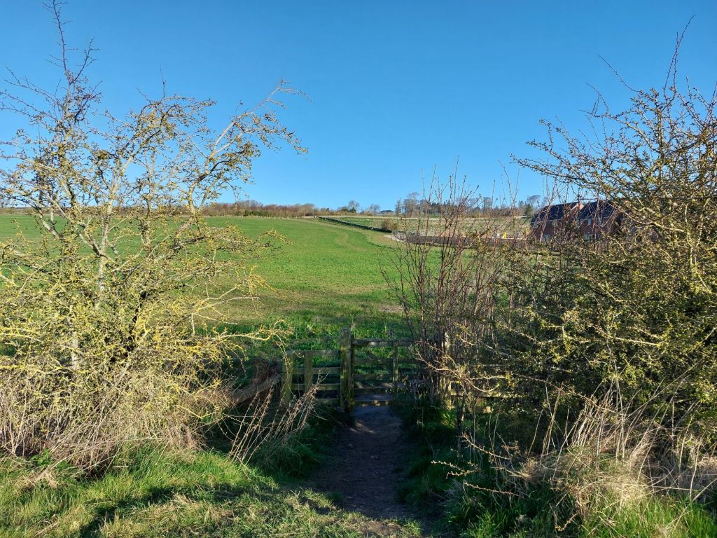
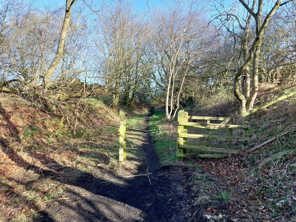
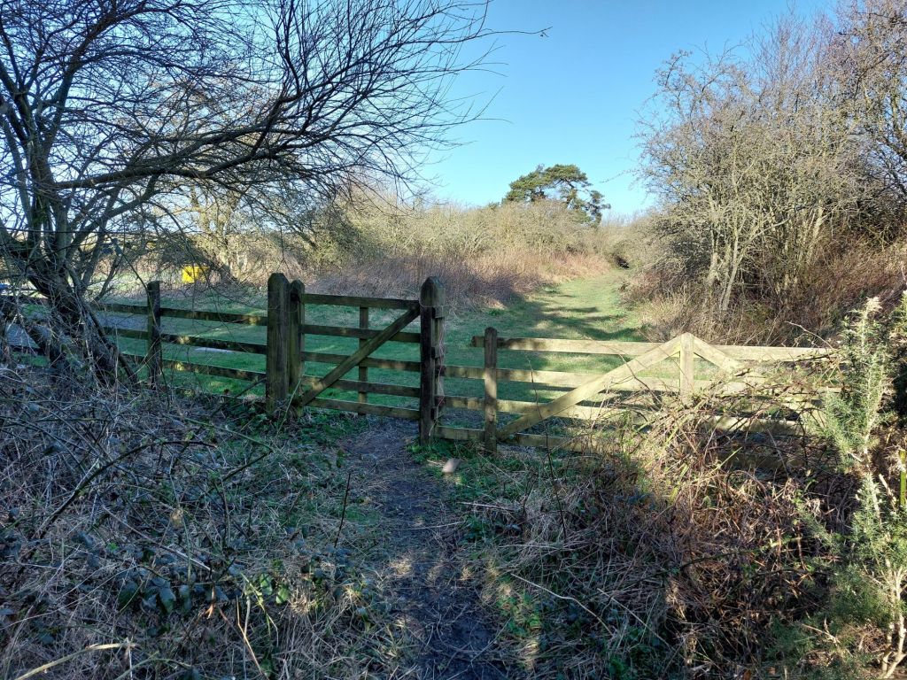
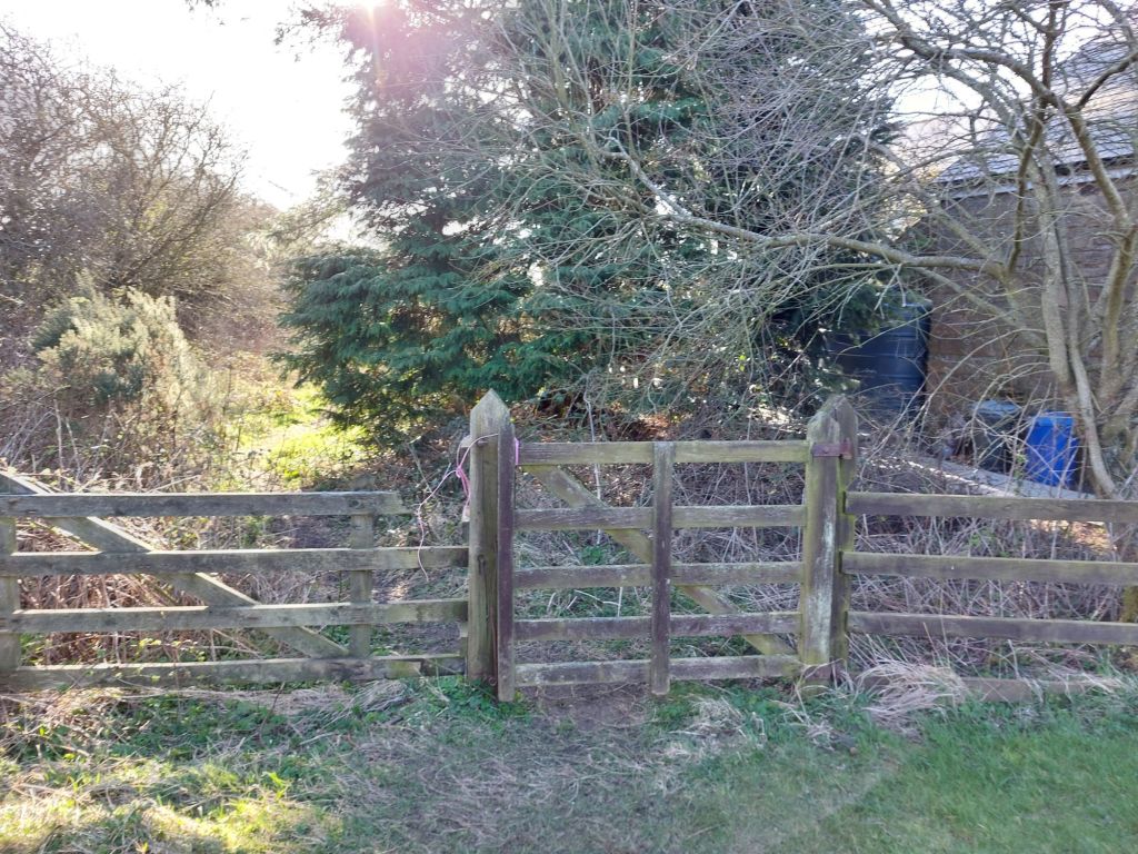
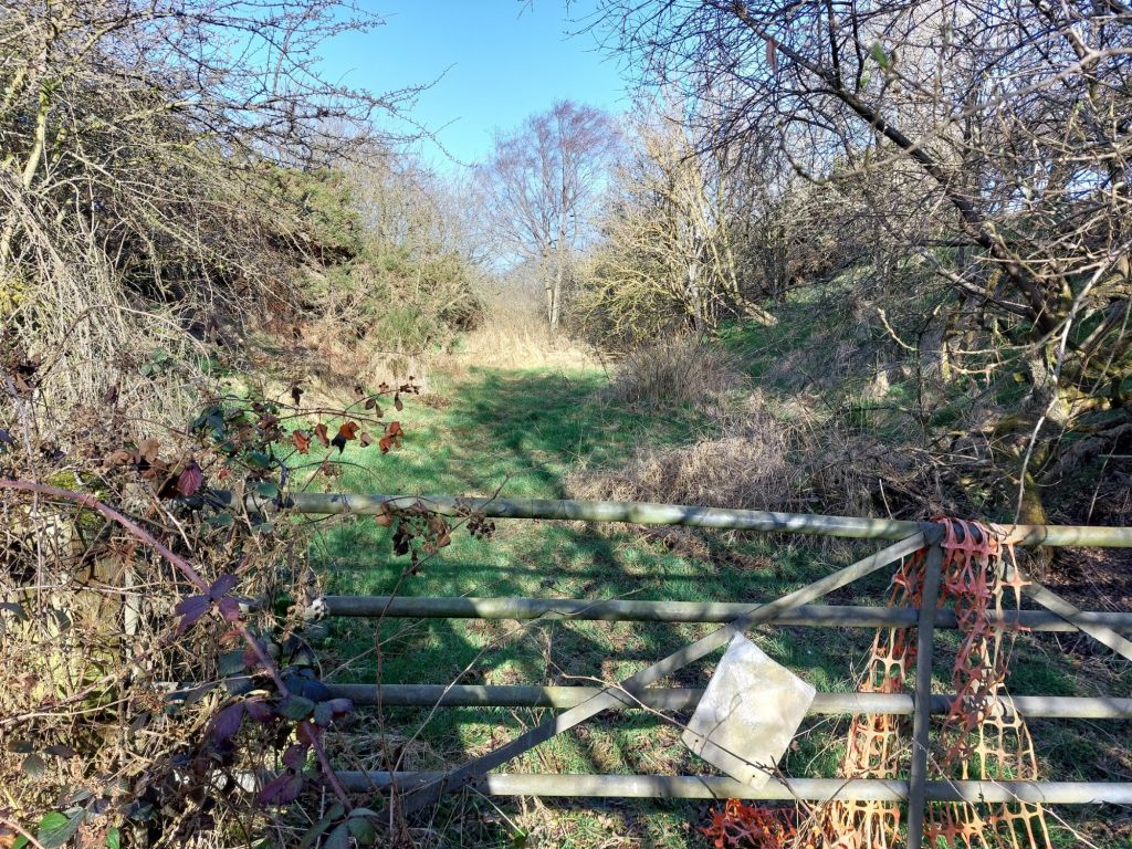
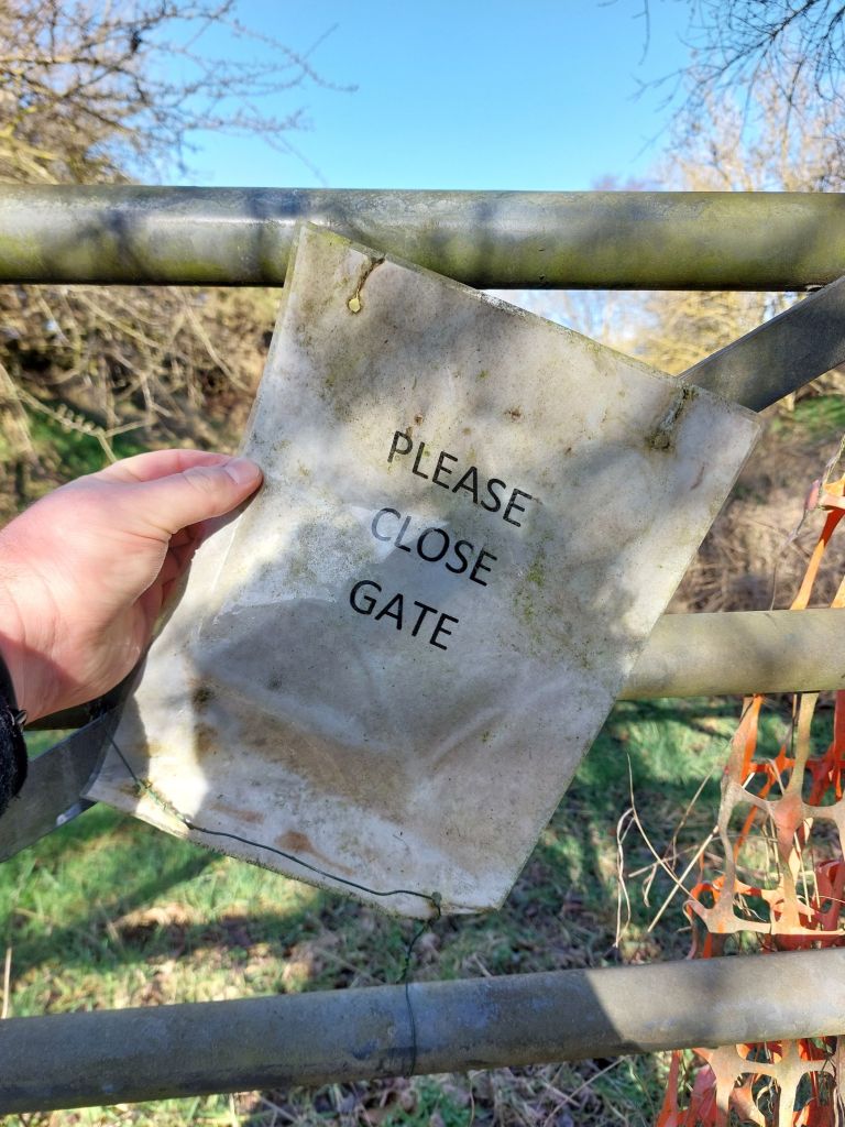
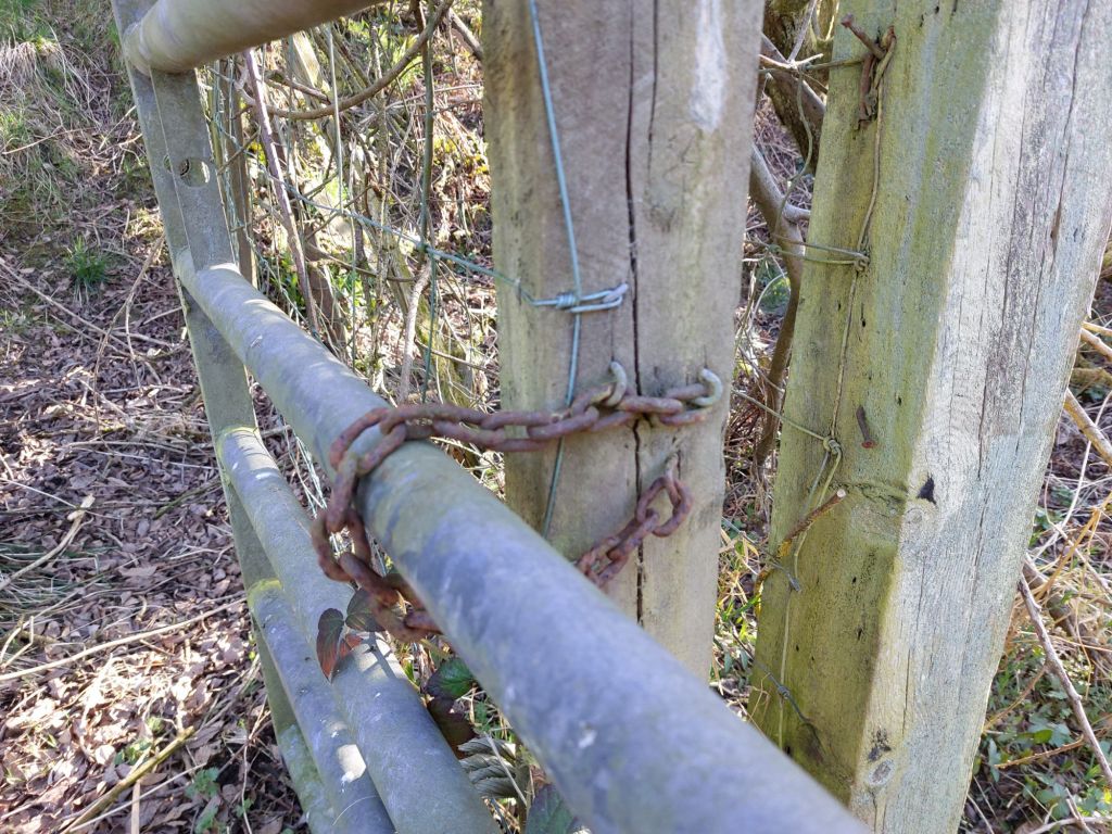
Gate 1
Being in a rural area where there is a possibility of livestock being around, there are a few gates across the path.

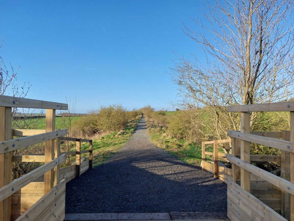
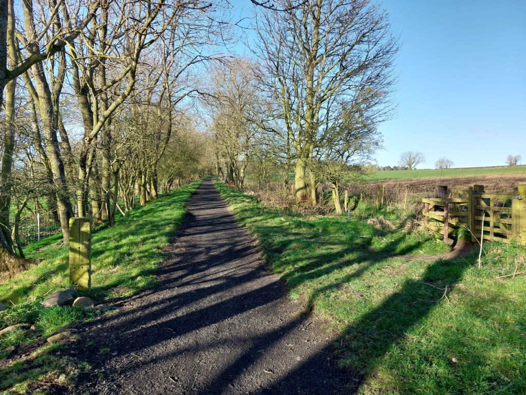
What is interesting about the whole route is how much variation there is in such short distances, going from embankments, then to cuttings, from enclosed with trees to being quite open all within quick succession and makes the route very enjoyable to walk!
The Standing Sleeper
This point is one of many where other walking routes join, leave or cross the Greenway, but the single sleeper on end was a clear landmark.
Near this standing sleeper was the remains of another still in the ground. With the Alnwick to Ilderton section having closed to rail traffic in 1953 (well before Dr Richard Beeching), it potentially has been there for a century, perhaps even longer?
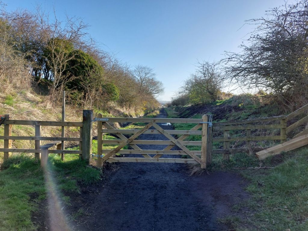
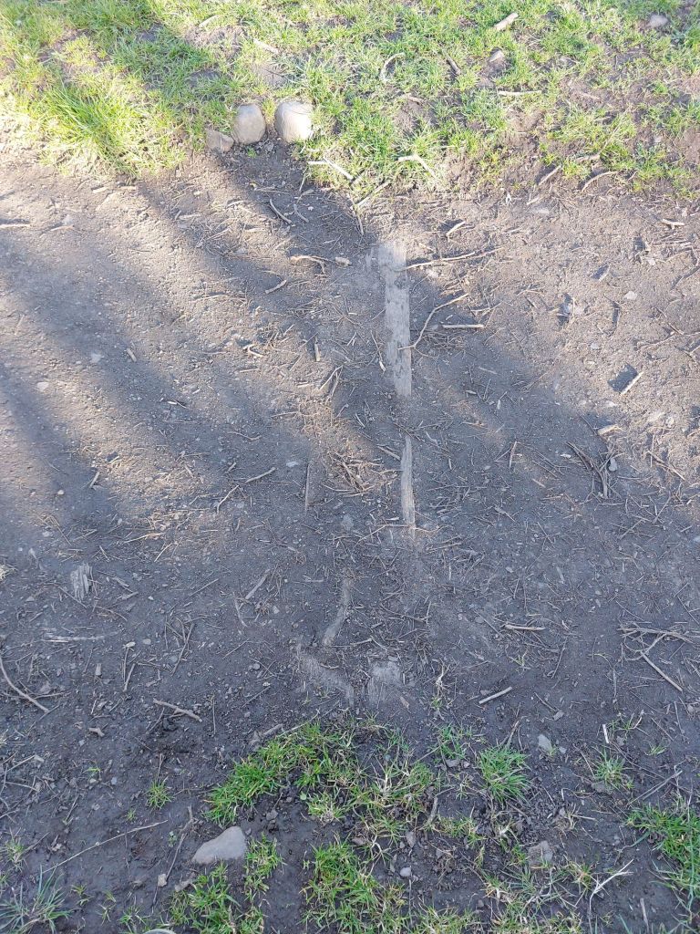
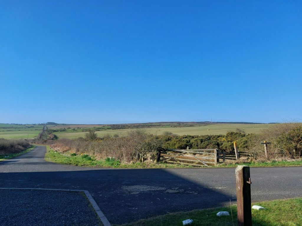
Gate 2
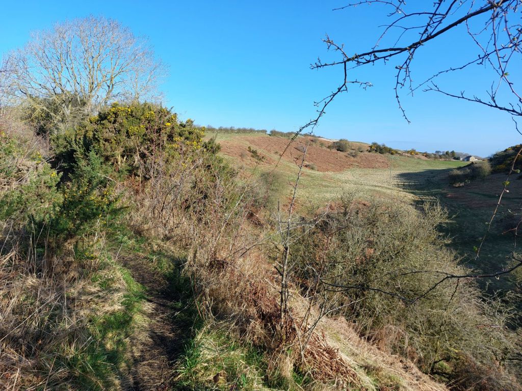
A short distance further on, another gate is encountered, and shows again the variety of scenery along the route, with wide open expanses of farmland and forest in view, and hardly a building to be seen in this area.
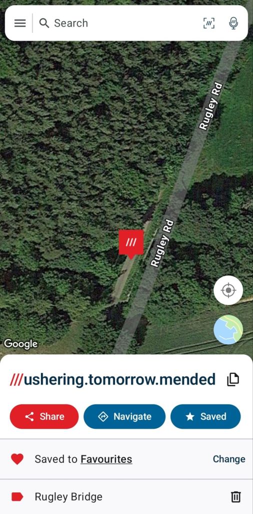
Rugley Burn
Here the line crossed a high, steep sided embankment over the Rugley Burn, with the minor Rugley Road jusy visible through the trees at times dropping into the valley and crossing via a ford. The scale of engineering for this line is quite remarkable for such a rural route.

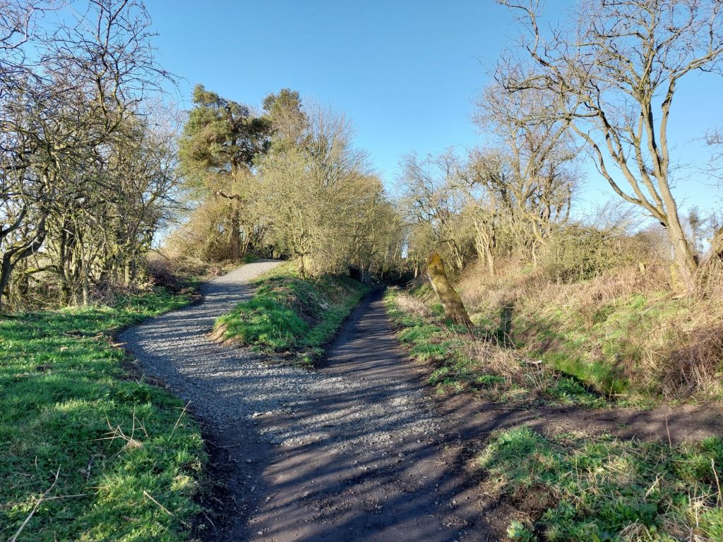
Junction for Rugley Road
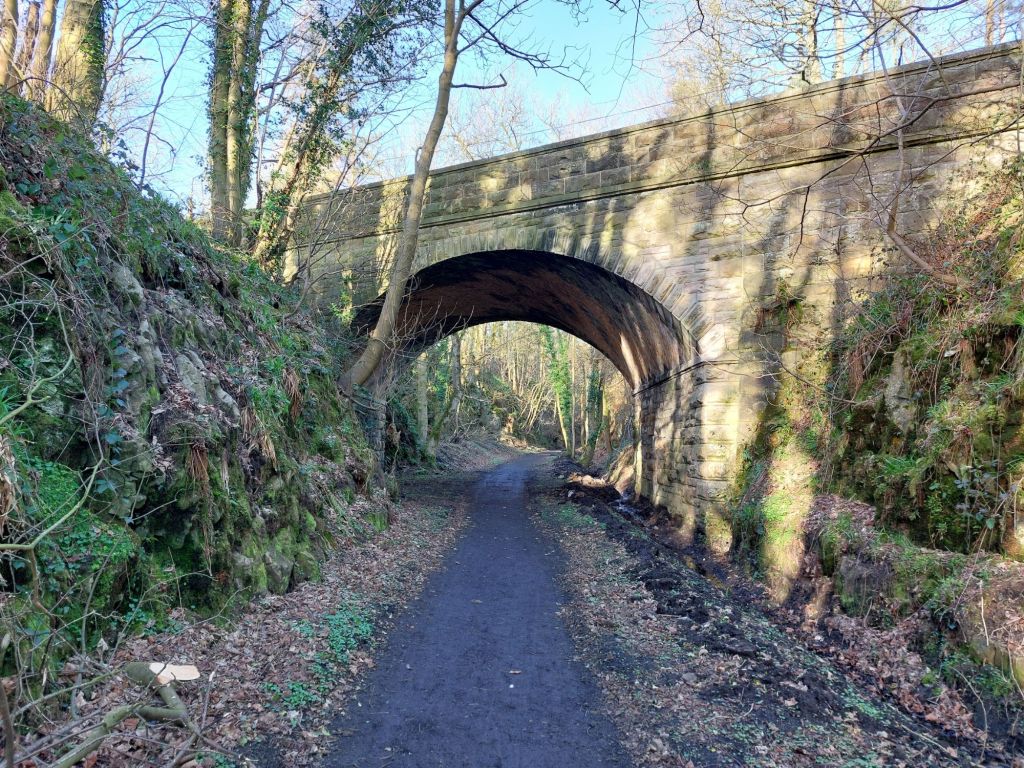
As the path approaches the minor Rugley Road, there is a very clear ‘junction’ of the paths, the left hand route, looking at the image below would take you up the cutting side to join the Rugley Road, but for us, we stay on the trackbed to pass beneath Rugley Road bridge.
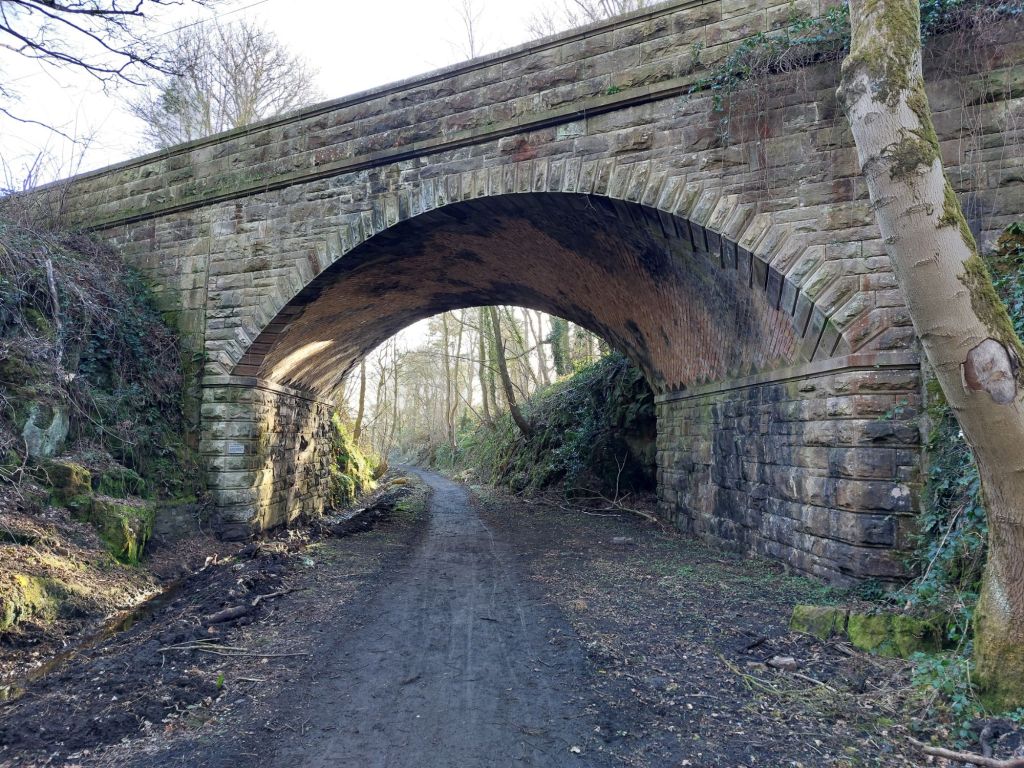
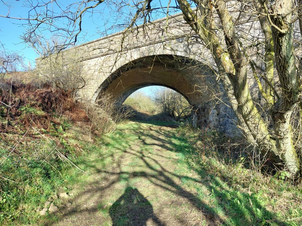
Rugley Bridge
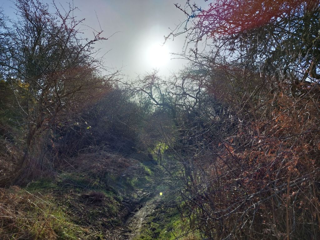
Approaching the Rugley Bridge through a deep, and quite damp cutting, we pass a large bench made from felled wood (this stretch was hard to pass due to swampy conditions and a number of trees fallen during Storm Arwen in November 2021, with windspeeds in the area reaching 98mph at nearby Brizlee Wood.
Rugley Bridge itself is a marvellous structure with beautiful brick and stonework; it was fairly recently threatened by National Highways to be competely infilled with concrete as the bridge at Great Musgrave controversially was.
Happily through being alerted by the HRE Group to this, and actions by many people this disasterous proposal was dropped and the bridge remained open, allowing this route to be opened in the last few days.

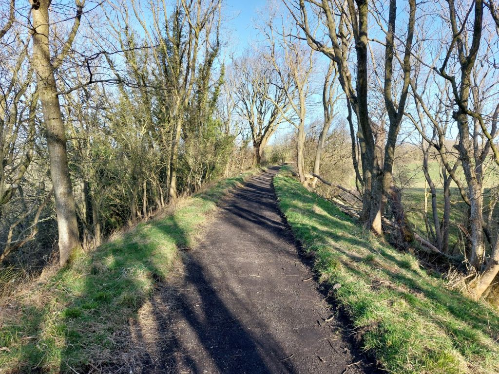
Beyond Rugley Bridge and to Bridge 2
Out onto another embankment and curving northward steadily, the path again opens up with some wonderful views!

Bridge 3
Another small bridge is crossed over here (no photo taken).

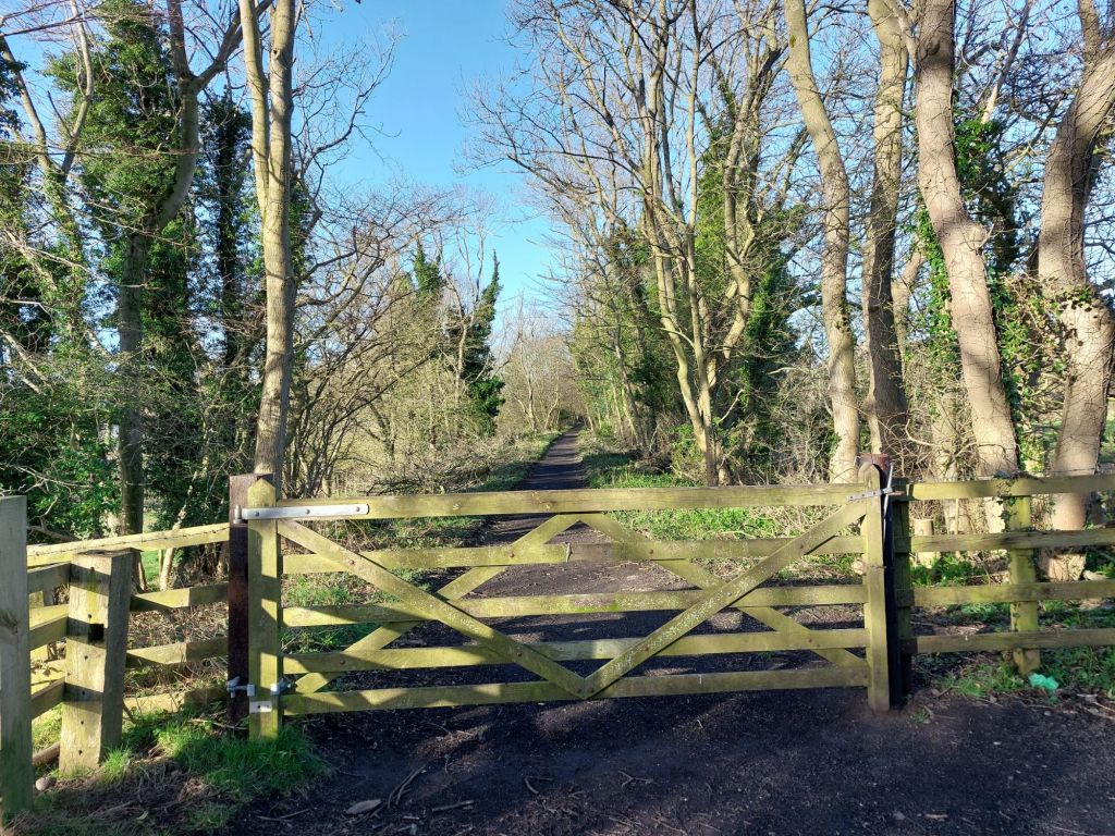
The end of the Borderline Greenway and beginning of the Freemen of Alnwick section (Freemen Gate 1)
As stated earlier, the route has two different custodians, the first section is the Borderline Greenway CIC, who have cleared the trackbed as far as the remains of this gate, with the Freemen of Alnwick the landowners beyond, with the trackbed in a more natural state.
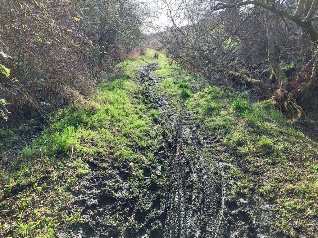
Beyond this point, it is slightly more challenging to pass due to overgrown bushes and trees, with some having fallen across the trackbed in places. The drainage on this section is also blocked, making some sections quite ‘clarty’, a good pair of boots is recommended!


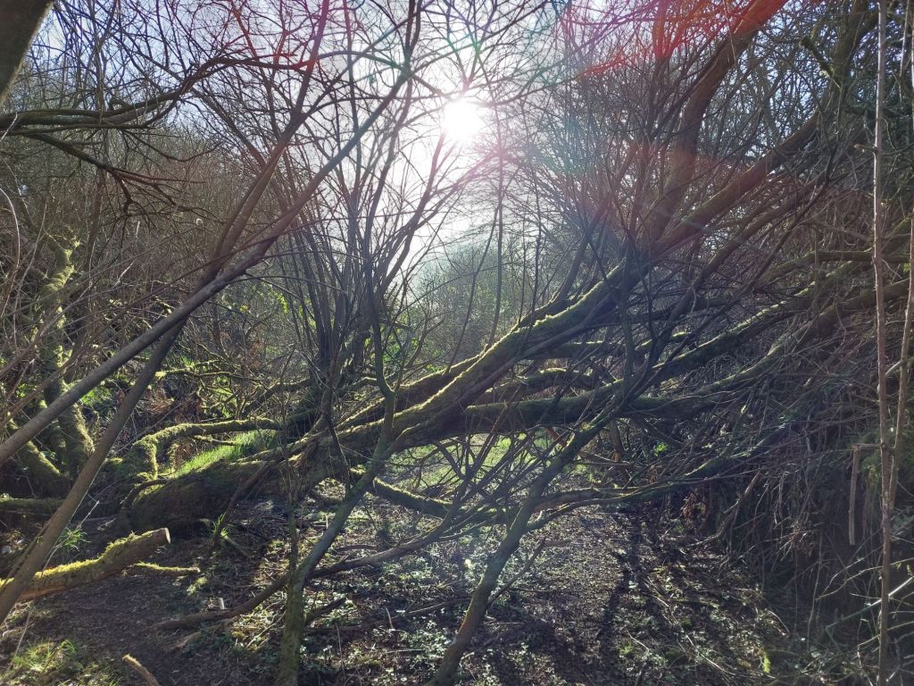
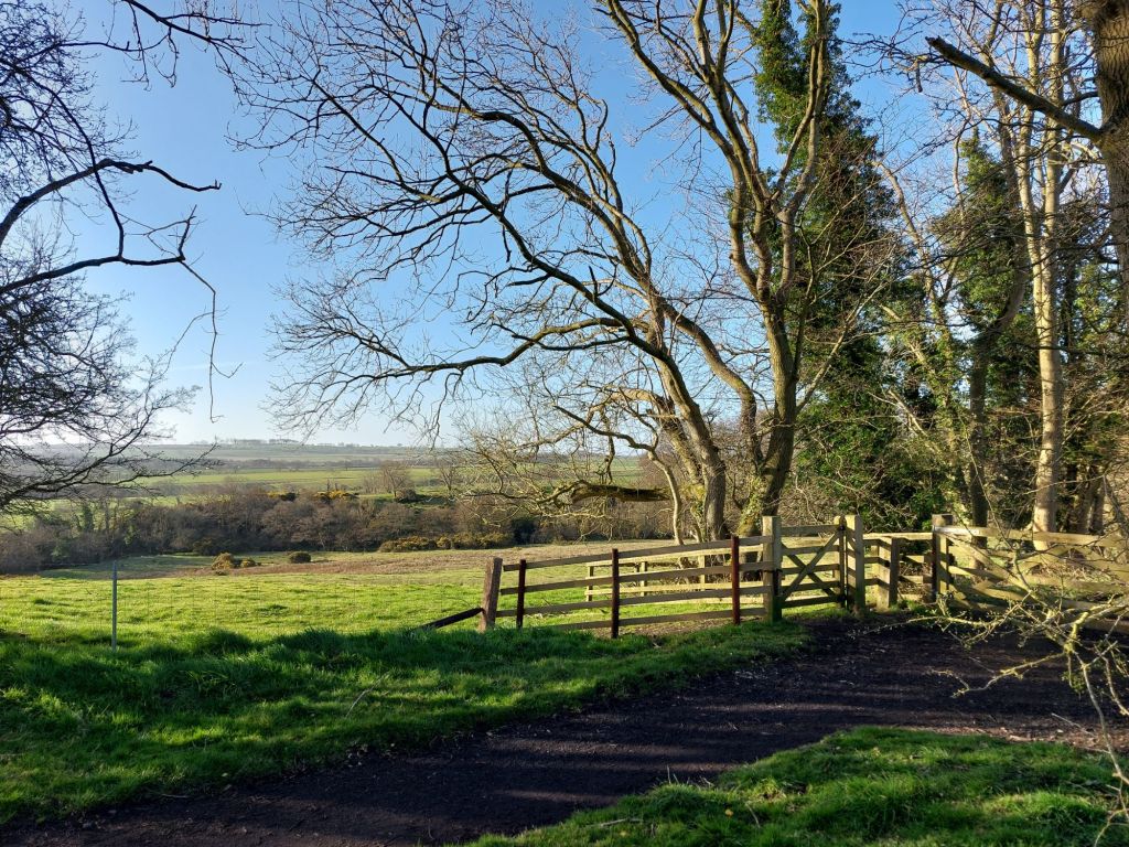
Freemen Gate 2
This section is almost at an end now, as we approach a minor road that connects to the B6341, passing through a small gate near a cottage.
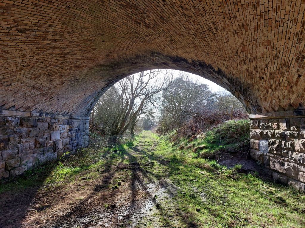
The B6341 Bridge and Route towards the Summit
Whilst not in the scope of todays walk, it appears possible to continue along the trackbed under the B6341, through another gate and on towards the Summit of the line beyond, the route from Alnwick having been a constant, steady uphill gradient.
This bridge, like the one at Rugley was under threat from infilling by National Highways, but hopefully the intention to see the full Alnwick and Cornhill route become an active travel corridor will see these bridges remain safe for years to come.
This above route will be explored at a future date, for now, it is back under the bridge, and to walk the B6341 back to Alnwick.
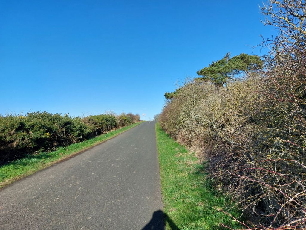
Back to home Alnwick along the B6341
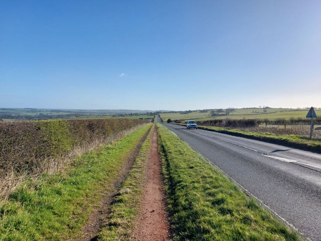
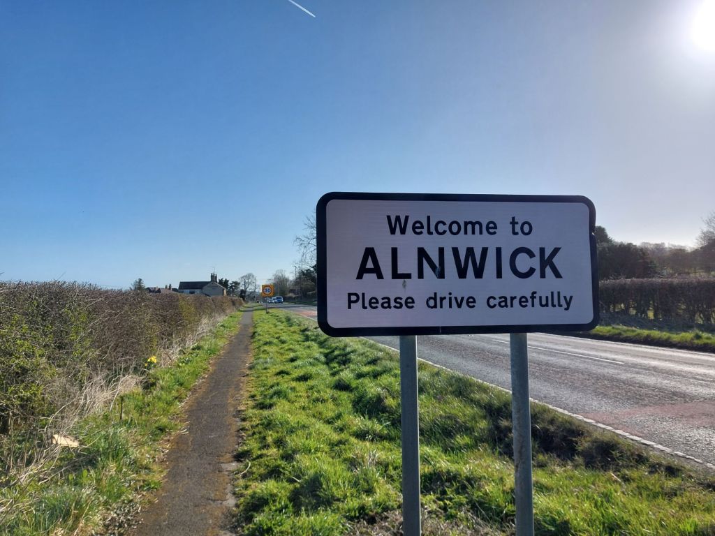
The above walk was a circular one from home, so it was a pleasant walk back along the B6341 on the final leg of the morning.

Seeing how this route develops in the coming months and years will be interesting, and that a walk or cycle the full length to Cornhill would be a fantastic trip!
Thanks for reading. If you’d like to assist me with the Northumberland Coast Loop, please visit https://ko-fi.com/northumberlandcoastloop

One thought on “Exploring the Borderline Greenway, Alnwick 30.3.25”